
USA Business Firmographic Data
USA Business Firmographic Data
Comprehensive US firmographic dataset with company profiles, revenue, workforce size, contacts, and coordinates for market and sales intelligence.
Overview
Each record represents a business entity and includes structured information about its headquarters and operational locations, including full address details, geographic coordinates, and building-level attributes where available. The dataset also includes key digital presence indicators such as website domains, LinkedIn company identifiers, social media links, and web infrastructure details.
In addition to core firmographic attributes, the dataset provides insight into company scale and performance through fields such as employee counts, revenue estimates, financial history snapshots, and organizational status indicators. Corporate hierarchy relationships are also captured, linking subsidiaries, parent companies, domestic ultimate entities, and global ultimate ownership structures.
The dataset supports a wide range of analytical and commercial use cases, including market research, sales prospecting, economic analysis, supply chain mapping, location intelligence, and spatial business analytics. With latitude and longitude coordinates included, the dataset can be easily integrated into geospatial platforms to analyze business activity across regions, industries, and markets.
• Company identity and business names
• Full address and location information
• Latitude and longitude coordinates
• Contact details including phone, email, and websites
• Social media and digital presence indicators
• CEO and executive leadership information
• Employee counts and workforce estimates
• Revenue estimates and financial history indicators
• Corporate hierarchy and ownership relationships
• Geographic and building-level attributes
This dataset is particularly valuable for organizations seeking to understand the global business landscape, identify potential customers or partners, analyze industry distribution, or perform spatial analysis of commercial activity.
Need Pricing, Samples, or Custom Coverage?
Tell the provider what you need and they’ll respond with pricing, availability, or custom options.
Request Pricing
Request Sample Data
Request Custom Coverage
Ask a Question
Listing Details
Dataset Summary
Credits Range
0.08 - 3.5M
Price Range
$0.01 - 350K
Time Coverage
4 years
Pricing Options
2
Countries
1
Refreshes
Size
1.90 GB
Rows
69,641,372
Activations
DataScape
Export
Map Embeds
BigGeo AI
File Formats
Parquet
Price Starting At $0.0075
Pick & Pay
$0.0075/boundary & up
Curated Bundles
$350,000 - $350,000
Tags
Always On
Instant Access
Pick & Pay
Curated Bundle
Categories
B 2 B Data
Geospatial Data
Commerce Data
Real Estate Data
Ai And Machine Learning Data
Risk Data
Population Data
Infrastructure Data
Industries
Commerce And Industry
Public Sector And Government
Technology And Security
Infrastructure And Construction
Energy And Utility
Healthcare And Insurance
Boundary Sets
USA - States and Districts
US - Urban Areas
USA - Counties
World - Countries
Origin
Other
About Techsalerator
Techsalerator is a Miami based data as a service platform, founded by Max Wahba, giving businesses centralized access to licensed B2B, B2C, and alternative datasets across 195 plus countries. The company strives to provide the right datasets for your business, priding itself on the highest quality data on businesses and consumers globally.
View Profile
Use Cases
B2B Territory & Whitespace Analysis for North American Market Expansion
Sales and marketing teams at B2B-focused organizations operating across the United States and Canada frequently struggle to identify untapped market opportunities within their existing or target territories. This use case leverages the North American Business Directory with Building Footprints and Web Intelligence to map the full competitive landscape of potential prospects by industry classification (NAICS-like codes), employee count, annual sales volume, and corporate hierarchy — all geocoded to rooftop or building-footprint precision. By layering firmographic attributes (company size, legal status, year founded, import/export activity) against administrative and census boundaries, teams can visualize whitespace zones where high-fit prospects are underserved, score territories by total addressable market, and allocate field sales or inside sales resources accordingly. The dataset's multi-year financial history and reliability-coded revenue figures allow analysts to trend market growth by sub-region, while building footprint polygons enable physical proximity analysis to existing customers or competitors. The result is a data-driven territory planning workflow that replaces spreadsheet-based guesswork with spatial intelligence grounded in verified business records.
Canadian Postal Code Geotargeting for Direct Marketing Campaigns
Marketers targeting Canadian consumers often struggle to translate customer address data into actionable geographic segments for campaign planning, media buying, and direct mail execution. By leveraging authoritative Canadian postal code boundaries — including full 6-character postal codes, Forward Sortation Areas (FSAs), Local Delivery Units (LDUs), and associated municipality names — brands can precisely define geographic audiences at the neighbourhood level across all of Canada. This use case enables marketing and data teams to aggregate customer records by postal code or FSA, identify high-value delivery zones, suppress non-converting areas, and plan hyper-local campaigns with spatial precision. The postal code geometries also allow seamless integration with demographic overlays, retail trade area analysis, and media planning tools, making this a foundational geospatial layer for any Canadian direct marketing or audience segmentation workflow.
Data Dictionary Per Variant
Pricing
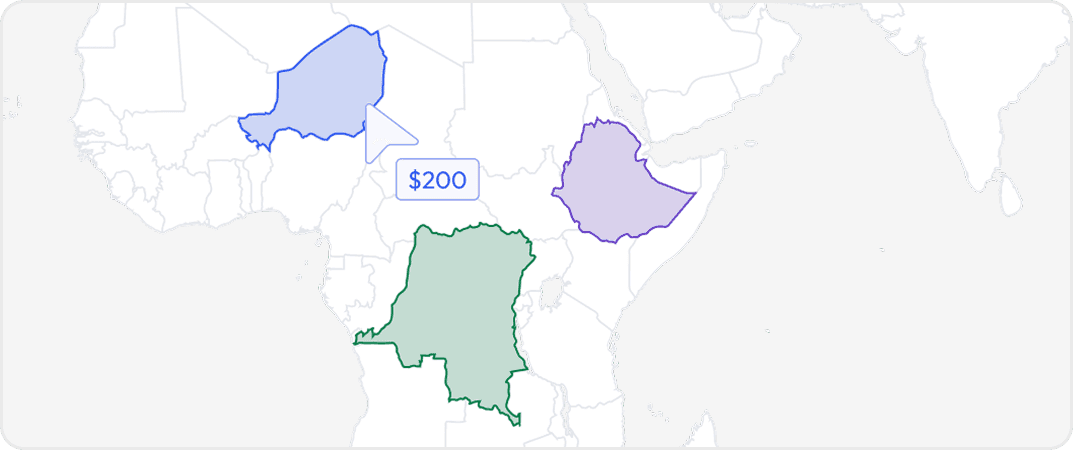
Pick & Pay
Buy data for specific geographic areas so you only pay for what you need. Choose countries, states, provinces, cities or custom regions depending on availability.
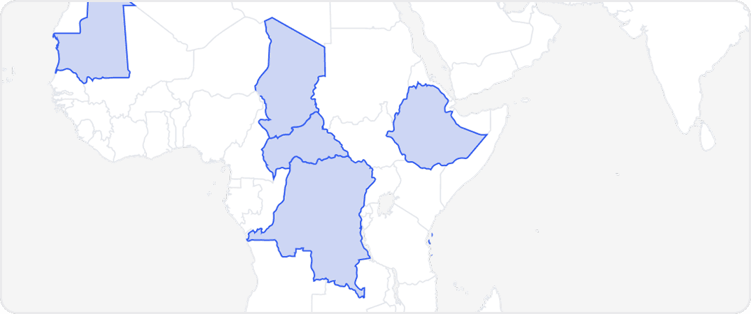
Curated Bundles
Pre-packaged collections of regions that are commonly purchased together. Bundles offer broader coverage at a lower price than buying each region individually.
More from Techsalerator
No listings match your current filters. Try adjusting your criteria to see more results.
Dataset Summary
Credits Range
0.08 - 3.5M
Price Range
$0.01 - 350K
Time Coverage
4 years
Pricing Options
2
Countries
1
Refreshes
Size
1.90 GB
Rows
69,641,372
Activations
DataScape
Export
Map Embeds
BigGeo AI
File Formats
Parquet
Price Starting At $0.0075
Pick & Pay
$0.0075/boundary & up
Curated Bundles
$350,000 - $350,000
Tags
Always On
Instant Access
Pick & Pay
Curated Bundle
Categories
B 2 B Data
Geospatial Data
Commerce Data
Real Estate Data
Ai And Machine Learning Data
Risk Data
Population Data
Infrastructure Data
Industries
Commerce And Industry
Public Sector And Government
Technology And Security
Infrastructure And Construction
Energy And Utility
Healthcare And Insurance
Boundary Sets
USA - States and Districts
US - Urban Areas
USA - Counties
World - Countries
Origin
Other
About Techsalerator
Techsalerator is a Miami based data as a service platform, founded by Max Wahba, giving businesses centralized access to licensed B2B, B2C, and alternative datasets across 195 plus countries. The company strives to provide the right datasets for your business, priding itself on the highest quality data on businesses and consumers globally.
View Profile
2 Pricing Options · Price Starting at $0.0075