
Malaysia Retail Points of Interest
Malaysia Retail Points of Interest
GapMaps curates up-to-date & high-quality Point of Interest (POI) datasets tracking store openings & closures for retail brands across Asia and MENA.
Overview
GapMaps premium Point of Interest (POI) Data for Asia includes the most up-to-date view of store locations for over 850 leading retail brands covering 700k+ locations across Asia and MENA including Indonesia, India, Philippines, Malaysia, Singapore and Saudi Arabia.
Point of Interest (POI) categories include Fast Food, Cafe, Fitness, Supermarket/grocery sectors which are updated monthly. Brands in other sectors are updated quarterly.
Detailed attributes provided for each Point of Interest (POI) location include:
- Category
- Business Name
- Postal code
- Latitude and longitude
- Street address, city, and state
- Location Status (open or closed)
- Location Updated Date
- Location Validated Date
Need Pricing, Samples, or Custom Coverage?
Tell the provider what you need and they’ll respond with pricing, availability, or custom options.
Request Pricing
Request Sample Data
Request Custom Coverage
Ask a Question
Listing Details
Dataset Summary
Credits Range
9 - 100K
Price Range
$0.9 - 10K
Time Coverage
-
Pricing Options
2
Countries
1
Refreshes
Size
677.84 KB
Rows
12,454
Activations
DataScape
Export
File Formats
CSV
Parquet
Price Starting At $0.9
Pick & Pay
$0.9/boundary & up
Full Dataset
$10,000 & up
Tags
Always On
Pick & Pay
Full Dataset
Categories
B 2 B Data
Geospatial Data
Commerce Data
Web Data
Consumer Data
Industries
Commerce And Industry
Infrastructure And Construction
Public Sector And Government
Environmental And Land Management
Boundary Sets
Malaysia - States & Territories
Origin
Other
Legal Terms
About GapMaps
GapMaps empowers business and government agencies to make fast, accurate and more informed decisions on locations based on the most up to date location intel available. They take the guess work out of location planning decisions.
View Profile
Use Cases
New Store Site Selection
Retailers evaluating new locations face a complex multi-variable decision that, when approached with incomplete market intelligence, leads to underperforming stores and costly expansion mistakes. This use case leverages BigGeo's geospatial platform to combine demographic profiles, consumer spending behavior, pedestrian and vehicular traffic patterns, competitor proximity, workforce availability, and nearby points of interest to score and rank candidate sites. Analysts can compare multiple potential locations side-by-side within a unified spatial environment, identifying trade areas, estimating revenue potential, and flagging cannibalization risk before committing capital. The result is a data-driven site selection process that dramatically improves the probability of long-term store success and reduces the number of costly site closures driven by poor location choices.
EV Charging Network Optimization
Organizations deploying electric vehicle (EV) charging infrastructure struggle to identify where new chargers will have the greatest impact. This use case combines EV ownership rates, road traffic flows, existing charging station locations, population growth projections, and commercial activity density to pinpoint underserved regions where demand is likely to outpace supply. By layering geospatial analysis across these signals, planners can prioritize deployment locations that maximize charger utilization, reduce range anxiety for drivers, and improve equitable access across urban, suburban, and rural corridors. The output supports capital allocation decisions, permitting prioritization, and partnership strategies with property owners, utilities, and municipalities.
Data Dictionary Per Variant
Pricing
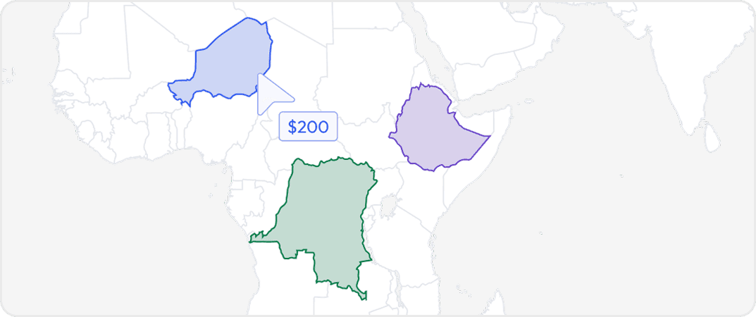
Pick & Pay
Buy data for specific geographic areas so you only pay for what you need. Choose countries, states, provinces, cities or custom regions depending on availability.
Full Datasets
Get complete coverage with one purchase. Includes all regions available without any regional selection required.
More from GapMaps
No listings match your current filters. Try adjusting your criteria to see more results.
Dataset Summary
Credits Range
9 - 100K
Price Range
$0.9 - 10K
Time Coverage
-
Pricing Options
2
Countries
1
Refreshes
Size
677.84 KB
Rows
12,454
Activations
DataScape
Export
File Formats
CSV
Parquet
Price Starting At $0.9
Pick & Pay
$0.9/boundary & up
Full Dataset
$10,000 & up
Tags
Always On
Pick & Pay
Full Dataset
Categories
B 2 B Data
Geospatial Data
Commerce Data
Web Data
Consumer Data
Industries
Commerce And Industry
Infrastructure And Construction
Public Sector And Government
Environmental And Land Management
Boundary Sets
Malaysia - States & Territories
Origin
Other
Legal Terms
About GapMaps
GapMaps empowers business and government agencies to make fast, accurate and more informed decisions on locations based on the most up to date location intel available. They take the guess work out of location planning decisions.
View Profile
2 Pricing Options · Price Starting at $0.9