
Louisiana Parcel & Land-Use
Louisiana Parcel & Land-Use
Louisiana parcel polygon dataset with ownership, valuations, zoning, and coordinates for property analysis and planning.
Overview
The Louisana Parcel Dataset provides parcel-level land and property records across Wyoming. Each record represents an individual parcel and combines ownership information, property characteristics, valuation indicators, and geographic location into a unified property record.
The dataset includes parcel identifiers, site and mailing addresses, zoning and land-use indicators, and structural attributes such as building year, units, rooms, and building measurements. Valuation and transaction fields, including land value, improvement value, tax records, and sale history, support property market analysis and asset valuation.
Latitude and longitude coordinates and parcel measurements enable spatial workflows such as mapping, proximity analysis, site selection, and regional market analysis. Additional contextual indicators include flood risk designations, environmental attributes, and demographic indicators linked to surrounding census geographies.
Key attributes include
• Parcel identifiers, stable parcel UUIDs, and cross-referenced parcel numbers
• Property ownership records, mailing information, and address validation indicators
• Building characteristics including year built, structures, units, rooms, and structural style
• Property valuation indicators including land value, improvement value, tax records, and sale history
• Geographic coordinates and parcel measurements supporting spatial analysis
Need Pricing, Samples, or Custom Coverage?
Tell the provider what you need and they’ll respond with pricing, availability, or custom options.
Request Pricing
Request Sample Data
Request Custom Coverage
Ask a Question
Listing Details
Dataset Summary
Credits Range
6.5K - 156K
Price Range
$650 - 15.6K
Time Coverage
-
Pricing Options
2
Countries
1
Refreshes
Size
680.74 MB
Rows
2,781,421
Activations
DataScape
Export
Price Starting At $650
Pick & Pay
$650/boundary & up
Full Dataset
$15,600 & up
Included Records
Rows
2,781,424
Columns
171
Tags
Always On
Instant Access
Pick & Pay
Full Dataset
Categories
Geospatial Data
Real Estate Data
Ai And Machine Learning Data
B 2 B Data
Industries
Commerce And Industry
Public Sector And Government
Energy And Utility
Environmental And Land Management
Healthcare And Insurance
Infrastructure And Construction
Technology And Security
Boundary Sets
USA - Counties
Origin
Other
Third-party
About Regrid
Regrid is a Detroit based parcel data company providing authoritative, government sourced land parcel boundaries and property attributes across the United States, Canada, and a growing set of European countries, delivered through APIs, bulk files, and Esri compatible services.
View Profile
Use Cases
Real Estate Site Selection
Site Selection for the Real Estate industry
Energy Infrastructure Risk & Investment Prioritization
Energy companies and utilities face complex decisions about where to invest in infrastructure upgrades, expansions, or new facilities. This use case leverages geospatial analysis combining climate risk, environmental hazard exposure, population growth trajectories, and regulatory boundary data to help energy sector planners identify which assets are most vulnerable and where future demand will concentrate. By overlaying power grid topology with climate risk layers, flood and wildfire hazard zones, and demographic growth signals, organizations can build a data-driven prioritization matrix for capital expenditure. The result is a defensible, spatially explicit investment roadmap that reduces regulatory risk, improves resilience planning, and aligns infrastructure spending with long-term demand forecasts.
Neighborhood-Level Customer Enrichment for Reverse-ETL Personalization
Marketing-ops and personalization teams running reverse-ETL pipelines (e.g., Census, Hightouch, RudderStack) push CRM and customer-data-platform records out to ESPs, ad platforms, and on-site personalization engines, but those records are typically limited to a mailing address or zip code with no local context to drive relevant messaging. This use case appends neighborhood-level demographic, lifestyle, and local firmographic attributes — household income bands, family composition, urbanicity, and nearby business density and category mix, joined at block-group, census-tract, or postal-code resolution via geocoded customer addresses — directly onto each customer record before it re-enters the activation layer. With this enrichment, personalization logic can trigger hyper-local content such as 'stores near you,' local-market pricing, regional promotions, or messaging tuned to neighborhood income and lifestyle segment, all without a manual GIS mapping exercise per campaign. The workflow relies on periodically refreshed demographic and boundary data plus parcel/address-level geocoding so that enrichment stays accurate as customers move or as boundary definitions update.
Trade Area Overlap Detection for Franchise Territory Disputes
Franchise brands and multi-location operators often grant exclusive or protected territories to franchisees and licensees, but as new units open and consumer catchments shift, trade areas can begin to overlap, cannibalizing sales and triggering contractual disputes. This use case combines drive-time and gravity-model trade area modeling with device movement patterns, parcel and building footprint data, and demographic segmentation to precisely define, visualize, and monitor franchisee territories over time. It enables corporate development, legal, and franchise operations teams to proactively identify encroachment risk before a new site is approved, quantify the degree of customer overlap between existing units, and provide defensible, data-backed evidence during territory renegotiations or litigation. Unlike simple radius-based exclusivity clauses, this approach models real-world foot traffic and mobility flows to reflect actual customer behavior rather than static distance assumptions.
Data Dictionary Per Variant
Pricing
Pick & Pay
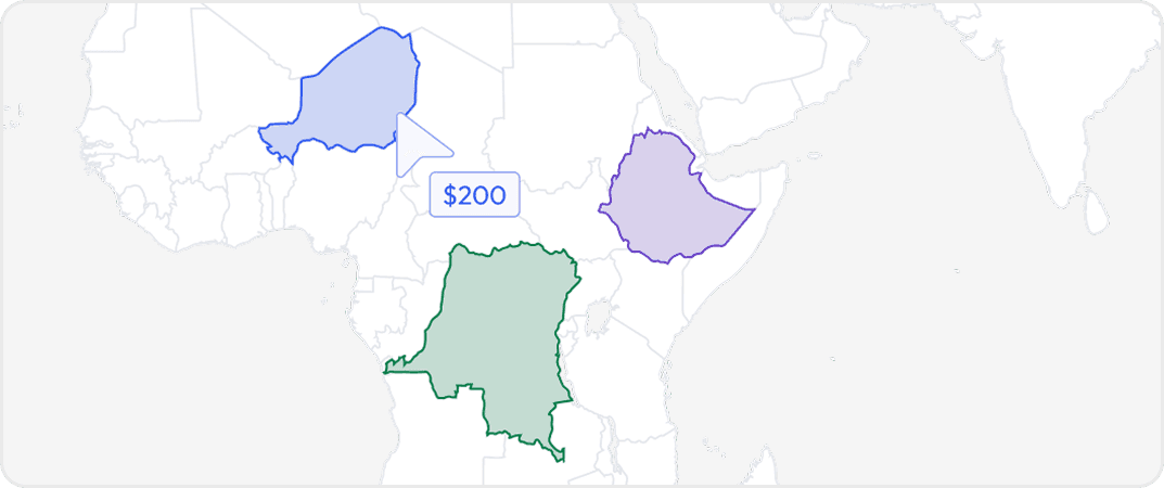
Buy data for specific geographic areas so you only pay for what you need. Choose countries, states, provinces, cities or custom regions depending on availability.
Full Datasets
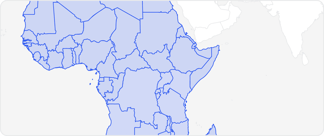
Get complete coverage with one purchase. Includes all regions available without any regional selection required.
More from Regrid
No listings match your current filters. Try adjusting your criteria to see more results.
Dataset Summary
Credits Range
6.5K - 156K
Price Range
$650 - 15.6K
Time Coverage
-
Pricing Options
2
Countries
1
Refreshes
Size
680.74 MB
Rows
2,781,421
Activations
DataScape
Export
Price Starting At $650
Pick & Pay
$650/boundary & up
Full Dataset
$15,600 & up
Included Records
Rows
2,781,424
Columns
171
Tags
Always On
Instant Access
Pick & Pay
Full Dataset
Categories
Geospatial Data
Real Estate Data
Ai And Machine Learning Data
B 2 B Data
Industries
Commerce And Industry
Public Sector And Government
Energy And Utility
Environmental And Land Management
Healthcare And Insurance
Infrastructure And Construction
Technology And Security
Boundary Sets
USA - Counties
Origin
Other
Third-party
About Regrid
Regrid is a Detroit based parcel data company providing authoritative, government sourced land parcel boundaries and property attributes across the United States, Canada, and a growing set of European countries, delivered through APIs, bulk files, and Esri compatible services.
View Profile
2 Pricing Options · Price Starting at $650