
GapMaps Point of Interest Data - Global | 202m Verified POIs | 200+ markets | 50+ attributes per POI
GapMaps Point of Interest Data - Global | 202m Verified POIs | 200+ markets | 50+ attributes per POI
Global POI dataset with 202M+ verified locations across 220+ countries, ideal for mapping, site selection, and location intelligence use cases.
Overview
GapMaps has partnered with Infobel to deliver one of the most comprehensive and scalable global datasets of real-world places, covering over 200 million points of interest across more than 220 countries and territories.
Designed for enterprise location intelligence, mapping, and analytics applications, the dataset provides highly accurate, continuously validated information on commercial and public locations—including retail stores, restaurants, financial institutions, healthcare facilities, offices, and more.
Each POI record is enriched with a wide range of attributes such as name, address, geocoordinates, business category, brand affiliation, contact details, opening hours, and additional metadata like building footprints, ratings, and nearby places.
Powered by AI-driven processing and sourced from over 1,100 data inputs, the dataset is standardised using global classification systems (e.g. SIC, NACE), ensuring consistency and seamless integration into GIS platforms, data warehouses, and analytics environments.
Accurate and high quality POI Data enables organisations to better understand physical locations, analyse market dynamics, optimise operations, and build location-aware products and services at global scale.
Key Features
- Global coverage at scale
- 170M+ POIs across 220+ countries and 3,000+ categories
- Rich attribute depth
- Includes geolocation, address, categories, contact data, opening hours, brand, ratings, and more
- High accuracy & validation
- Continuously updated and verified using multi-source inputs and AI-driven enrichment
- Advanced geospatial data
- Includes coordinates, building footprints, polygons, and spatial relationships
- Standardised & integration-ready
- Aligned to global classification systems (SIC, NACE) for easy integration into enterprise systems
Use Cases:
1. Retail & Site Selection - Identify high-potential store locations based on proximity to competitors, complementary businesses, and footfall drivers
2. Evaluate trade areas and optimise expansion strategies
3. Logistics & Route Optimisation
4. Map delivery points and optimise routing for faster, more efficient logistics operations
Improve last-mile delivery performance and reduce fuel costs
5. Mapping & Navigation Applications- Power digital maps, location-based apps, and navigation platforms with accurate place data
6. Enable search, discovery, and routing experiences
7. Market & Competitive Intelligence
8. Analyse competitor networks, brand presence, and market saturation
Understand local business ecosystems and industry clusters
9. Location-Based Marketing & Advertising
10. Enable geo-targeted campaigns based on real-world locations and surrounding context
11. Enhance audience targeting with place-based insights
12. Urban Planning & Government
13. Assess infrastructure coverage (schools, hospitals, transport, etc.)
14. Identify underserved areas and support city planning decisions
15. PropTech & Real Estate Analytics
16. Evaluate property values and investment opportunities based on nearby amenities
17. Analyse neighbourhood composition and accessibility
18. Mobility & Smart Cities
19. Support EV charging location mapping, transport planning, and smart city initiatives
20. Enhance mobility services with real-world location context
Need Pricing, Samples, or Custom Coverage?
Tell the provider what you need and they’ll respond with pricing, availability, or custom options.
Request Pricing
Request Sample Data
Request Custom Coverage
Ask a Question
Listing Details
Dataset Summary
Credits Range
0.4 - 0.4
Price Range
$0.04 - 0.04
Time Coverage
-
Pricing Options
1
Countries
196
Refreshes
Size
0 bytes
Rows
0
Activations
DataScape
Export
Map Embeds
Price Starting At $0.04
Pick & Pay
$0.04/boundary & up
Tags
Always On
Instant Access
Pick & Pay
Categories
B 2 B Data
Commerce Data
Geospatial Data
Infrastructure Data
Marketing Data
Real Estate Data
Industries
Commerce And Industry
Energy And Utility
Environmental And Land Management
Healthcare And Insurance
Infrastructure And Construction
Tourism And Travel
Technology And Security
Public Sector And Government
Boundary Sets
World - Countries
Origin
Third-party
Other
About GapMaps
GapMaps empowers business and government agencies to make fast, accurate and more informed decisions on locations based on the most up to date location intel available. They take the guess work out of location planning decisions.
View Profile
Dataset
Pricing
Pick & Pay
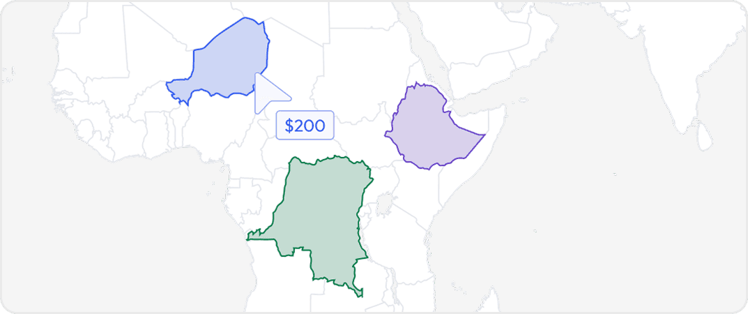
Buy data for specific geographic areas so you only pay for what you need. Choose countries, states, provinces, cities or custom regions depending on availability.
More from GapMaps
No listings match your current filters. Try adjusting your criteria to see more results.
Dataset Summary
Credits Range
0.4 - 0.4
Price Range
$0.04 - 0.04
Time Coverage
-
Pricing Options
1
Countries
196
Refreshes
Size
0 bytes
Rows
0
Activations
DataScape
Export
Map Embeds
Price Starting At $0.04
Pick & Pay
$0.04/boundary & up
Tags
Always On
Instant Access
Pick & Pay
Categories
B 2 B Data
Commerce Data
Geospatial Data
Infrastructure Data
Marketing Data
Real Estate Data
Industries
Commerce And Industry
Energy And Utility
Environmental And Land Management
Healthcare And Insurance
Infrastructure And Construction
Tourism And Travel
Technology And Security
Public Sector And Government
Boundary Sets
World - Countries
Origin
Third-party
Other
About GapMaps
GapMaps empowers business and government agencies to make fast, accurate and more informed decisions on locations based on the most up to date location intel available. They take the guess work out of location planning decisions.
View Profile
1 Pricing Options · Price Starting at $0.04