U.S. Business Points of Interest (POI) Dataset
U.S. Business Points of Interest (POI) Dataset
Nationwide POI list of U.S. business locations with contacts, addresses, and industry codes for market analysis.
Overview
This dataset provides records of active business locations across the United States, containing business identity, contact details, industry classification, size indicators, and full address hierarchies. Each record includes precise latitude and longitude for spatial workflows, enabling mapping, proximity analysis, clustering, and site selection. The dataset supports market analysis, competitive intelligence, lead enrichment, supply chain mapping, and location-based analytics by combining industry codes, sales and employee size ranges, web presence, and hierarchical place context from city to ZIP and county. It is optimized for geographic visualization and regional market segmentation, delivering a consistent foundation for analytics and operational integration.
Key attributes include:
- Nationwide business location coverage with high completeness
- Business identity and contact details including web presence
- Address hierarchy covering city, county, state, and ZIP
- Industry classifications and size indicators for segmentation
- Precise coordinates and geometry for spatial analysis
Analysts, sales teams, real estate planners, and supply chain managers benefit from an authoritative, location-enriched business inventory to identify opportunities, prioritize outreach, and perform geographic market and competitive analysis.
Need Pricing, Samples, or Custom Coverage?
Tell the provider what you need and they’ll respond with pricing, availability, or custom options.
Request Pricing
Request Sample Data
Request Custom Coverage
Ask a Question
Listing Details
Dataset Summary
Credits Range
0.05 - 1.15M
Price Range
$0.01 - 115K
Time Coverage
-
Pricing Options
2
Countries
1
Refreshes
Size
573.18 MB
Rows
23,135,177
Activations
DataScape
Export
Map Embeds
Price Starting At $0.005
Pick & Pay
$0.005/boundary & up
Full Dataset
$115,000 & up
Tags
Always On
Instant Access
Pick & Pay
Full Dataset
Categories
B 2 B Data
Commerce Data
Geospatial Data
Marketing Data
Real Estate Data
Ai And Machine Learning Data
Transportation And Logistics Data
Industries
Commerce And Industry
Energy And Utility
Healthcare And Insurance
Infrastructure And Construction
Public Sector And Government
Technology And Security
Tourism And Travel
Boundary Sets
USA - States and Districts
US - Urban Areas
USA - Counties
Origin
Other
About Connected2GIS
Connected2GIS is a Serbia based geographic information systems company building software and analytical solutions for spatial data management and visualization, serving urban planning, environmental management, transportation, agriculture, and real estate clients across a product portfolio that includes Agro2GIS and Nekretnine2GIS.
View Profile
Use Cases
B2B Territory & Whitespace Analysis for North American Market Expansion
Sales and marketing teams at B2B-focused organizations operating across the United States and Canada frequently struggle to identify untapped market opportunities within their existing or target territories. This use case leverages the North American Business Directory with Building Footprints and Web Intelligence to map the full competitive landscape of potential prospects by industry classification (NAICS-like codes), employee count, annual sales volume, and corporate hierarchy — all geocoded to rooftop or building-footprint precision. By layering firmographic attributes (company size, legal status, year founded, import/export activity) against administrative and census boundaries, teams can visualize whitespace zones where high-fit prospects are underserved, score territories by total addressable market, and allocate field sales or inside sales resources accordingly. The dataset's multi-year financial history and reliability-coded revenue figures allow analysts to trend market growth by sub-region, while building footprint polygons enable physical proximity analysis to existing customers or competitors. The result is a data-driven territory planning workflow that replaces spreadsheet-based guesswork with spatial intelligence grounded in verified business records.
Data Dictionary Per Variant
Pricing
Pick & Pay
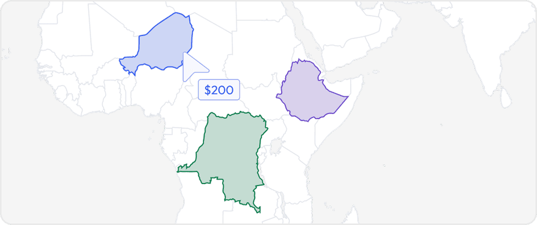
Buy data for specific geographic areas so you only pay for what you need. Choose countries, states, provinces, cities or custom regions depending on availability.
Full Datasets
Get complete coverage with one purchase. Includes all regions available without any regional selection required.
More from Connected2GIS
No listings match your current filters. Try adjusting your criteria to see more results.
Dataset Summary
Credits Range
0.05 - 1.15M
Price Range
$0.01 - 115K
Time Coverage
-
Pricing Options
2
Countries
1
Refreshes
Size
573.18 MB
Rows
23,135,177
Activations
DataScape
Export
Map Embeds
Price Starting At $0.005
Pick & Pay
$0.005/boundary & up
Full Dataset
$115,000 & up
Tags
Always On
Instant Access
Pick & Pay
Full Dataset
Categories
B 2 B Data
Commerce Data
Geospatial Data
Marketing Data
Real Estate Data
Ai And Machine Learning Data
Transportation And Logistics Data
Industries
Commerce And Industry
Energy And Utility
Healthcare And Insurance
Infrastructure And Construction
Public Sector And Government
Technology And Security
Tourism And Travel
Boundary Sets
USA - States and Districts
US - Urban Areas
USA - Counties
Origin
Other
About Connected2GIS
Connected2GIS is a Serbia based geographic information systems company building software and analytical solutions for spatial data management and visualization, serving urban planning, environmental management, transportation, agriculture, and real estate clients across a product portfolio that includes Agro2GIS and Nekretnine2GIS.
View Profile
2 Pricing Options · Price Starting at $0.005