RiskVista Daily Climate Indicators — Canada (2025)
RiskVista Daily Climate Indicators — Canada (2025)
Daily gridded Canada weather data for 2025 including temperature, windspeed, gusts, snow depth, precipitation, and precipitation departures.
Overview
The RiskVista Daily Weather Indicators dataset provides daily gridded weather metrics for Canada in 2025 across geospatial grid locations. Each record contains latitude and longitude coordinates, observation date, and core daily weather indicators derived from modeled weather outputs.
Variables include average, minimum, and maximum temperature, windspeed, maximum gust speed, snow depth, total precipitation, and precipitation departure from climatology. These indicators provide a structured view of daily weather conditions and precipitation variability across Canada.
Spatially referenced weather observations support analysis of weather patterns, seasonal variability, environmental conditions, and geospatial climate monitoring across Canadian regions.
Key attributes include:
• Latitude and longitude coordinates
• Observation date
• Average, minimum, and maximum temperature
• Windspeed and maximum gust speed
• Snow depth
• Total precipitation and precipitation departure from climatology
Need Pricing, Samples, or Custom Coverage?
Tell the provider what you need and they’ll respond with pricing, availability, or custom options.
Request Pricing
Request Sample Data
Request Custom Coverage
Ask a Question
Listing Details
Dataset Summary
Credits Range
0.01 - 80K
Price Range
$0 - 8K
Time Coverage
-
Pricing Options
2
Countries
1
Refreshes
Size
31.10 MB
Rows
9,440,196
Activations
DataScape
Export
Map Embeds
Price Starting At $0.001
Pick & Pay
$0.001/boundary & up
Full Dataset
$8,000 & up
Tags
Always On
Instant Access
Pick & Pay
Full Dataset
Categories
Ai And Machine Learning Data
Environmental Data
Geospatial Data
Risk Data
Weather And Climate Data
Industries
Energy And Utility
Environmental And Land Management
Public Sector And Government
Tourism And Travel
Boundary Sets
CAN - Canada - Provinces and Territories
Origin
Satellite Imagery
Government Open Data
About WeatherDataAI
WeatherDataAI is a data provider offering customizable global historical and forecast weather data, including bulk gridded datasets and single location data, accessible via API with over 300 billion data points covering precipitation, temperature, wind, solar, and soil variables at a 28 square kilometer spatial resolution.
View Profile
Use Cases
Cold-Climate Heating Demand Targeting for Energy Retailers
Energy retailers, propane and heating-oil suppliers, and HVAC service providers operating in far-northern and Arctic markets need to know which communities and service territories are experiencing above-normal heating demand so they can time acquisition campaigns, cross-sell insulation or fuel-efficiency products, and prioritize outbound sales outreach. This use case ingests daily point-based weather observations including average, minimum, and maximum temperature, total precipitation, and calculated heating degree days (base 18.4°C) along with their departure-from-normal values, then spatially joins these thermal-demand signals to administrative boundaries (hamlets, territories, census subdivisions) and household demographic counts to build a ranked list of communities where heating fuel consumption and utility bill pressure is likely elevated relative to climatological baselines. Marketing and business-development teams use the degree-day departure metric as a proxy for near-term demand spikes, triggering geotargeted direct mail, call-center prioritization, or digital campaigns for heating assistance programs, fuel delivery contracts, and HVAC tune-up promotions. Because the underlying data is delivered as daily batch tabular observations with latitude/longitude coordinates across the Canadian Arctic Archipelago, it can be refreshed on a rolling basis to keep campaign target lists current with actual seasonal conditions rather than static historical averages.
Energy Infrastructure Risk & Investment Prioritization
Energy companies and utilities face complex decisions about where to invest in infrastructure upgrades, expansions, or new facilities. This use case leverages geospatial analysis combining climate risk, environmental hazard exposure, population growth trajectories, and regulatory boundary data to help energy sector planners identify which assets are most vulnerable and where future demand will concentrate. By overlaying power grid topology with climate risk layers, flood and wildfire hazard zones, and demographic growth signals, organizations can build a data-driven prioritization matrix for capital expenditure. The result is a defensible, spatially explicit investment roadmap that reduces regulatory risk, improves resilience planning, and aligns infrastructure spending with long-term demand forecasts.
Data Dictionary Per Variant
Pricing
Pick & Pay
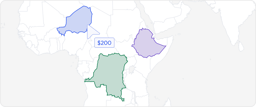
Buy data for specific geographic areas so you only pay for what you need. Choose countries, states, provinces, cities or custom regions depending on availability.
Full Datasets
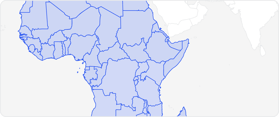
Get complete coverage with one purchase. Includes all regions available without any regional selection required.
More from WeatherDataAI
No listings match your current filters. Try adjusting your criteria to see more results.
Dataset Summary
Credits Range
0.01 - 80K
Price Range
$0 - 8K
Time Coverage
-
Pricing Options
2
Countries
1
Refreshes
Size
31.10 MB
Rows
9,440,196
Activations
DataScape
Export
Map Embeds
Price Starting At $0.001
Pick & Pay
$0.001/boundary & up
Full Dataset
$8,000 & up
Tags
Always On
Instant Access
Pick & Pay
Full Dataset
Categories
Ai And Machine Learning Data
Environmental Data
Geospatial Data
Risk Data
Weather And Climate Data
Industries
Energy And Utility
Environmental And Land Management
Public Sector And Government
Tourism And Travel
Boundary Sets
CAN - Canada - Provinces and Territories
Origin
Satellite Imagery
Government Open Data
About WeatherDataAI
WeatherDataAI is a data provider offering customizable global historical and forecast weather data, including bulk gridded datasets and single location data, accessible via API with over 300 billion data points covering precipitation, temperature, wind, solar, and soil variables at a 28 square kilometer spatial resolution.
View Profile
2 Pricing Options · Price Starting at $0.001