F
Fathom Global Flood Map
F
Fathom Global Flood Map
Global pluvial, fluvial and coastal flood depths and risk scores at ~30m, downscaled to 10m where available.
Overview
This dataset delivers global, multi-peril flood hazard and risk information, covering pluvial, fluvial and coastal flood types with defended and undefended views. It provides flood depths and relative risk scores across return periods from 5 to 1000 years and supports climate-conditioned scenarios through 2100. Terrain is built on FABDEM+ augmented with best-available local LiDAR and is provided at ~30-meter resolution globally with 10-meter downscaling where regional data permits. Metadata on uncertainty and influencing factors is included. The data supports mapping, exposure analysis, portfolio-level risk assessment, climate impact projections, and site-level vulnerability evaluation for any geographic area worldwide.
Key attributes include:
Multi-peril flood layers covering pluvial, fluvial and coastal hazards
Flood water depths and modeled return period outputs for 5–1000 years
Relative risk scores and categorical risk classifications for each peril
Climate-conditioned scenarios up to year 2100 for future-risk assessment
High-resolution terrain model with global coverage and localized LiDAR downscaling plus metadata on uncertainty
Value Summary:
Insurers, financial institutions, governments, engineers and corporates can use this dataset to quantify current and future flood exposure, underwrite risk, prioritize mitigation, and integrate climate-driven flood projections into capital and operational decisions.
Need Pricing, Samples, or Custom Coverage?
Tell the provider what you need and they’ll respond with pricing, availability, or custom options.
Request Pricing
Request Sample Data
Request Custom Coverage
Ask a Question
Listing Details
Dataset Summary
Credits Range
-
Price Range
$ -
Time Coverage
-
Pricing Options
1
Countries
196
Refreshes
Size
12.44 MB
Rows
313,164
Activations
DataScape
Export
Map Embeds
Price
Full Dataset
-
Tags
Always On
Instant Access
Full Dataset
Categories
Environmental Data
Financial Data
Geospatial Data
Infrastructure Data
Real Estate Data
Risk Data
Industries
Commerce And Industry
Energy And Utility
Environmental And Land Management
Healthcare And Insurance
Infrastructure And Construction
Public Sector And Government
Technology And Security
Weather And Climate
Origin
Aerial Surveys
Third-party
Data Dictionary Per Variant
Pricing
Full Datasets
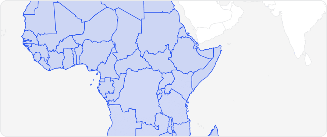
Get complete coverage with one purchase. Includes all regions available without any regional selection required.
More from Fathom
No listings match your current filters. Try adjusting your criteria to see more results.
Dataset Summary
Credits Range
-
Price Range
$ -
Time Coverage
-
Pricing Options
1
Countries
196
Refreshes
Size
12.44 MB
Rows
313,164
Activations
DataScape
Export
Map Embeds
Price
Full Dataset
-
Tags
Always On
Instant Access
Full Dataset
Categories
Environmental Data
Financial Data
Geospatial Data
Infrastructure Data
Real Estate Data
Risk Data
Industries
Commerce And Industry
Energy And Utility
Environmental And Land Management
Healthcare And Insurance
Infrastructure And Construction
Public Sector And Government
Technology And Security
Weather And Climate
Origin
Aerial Surveys
Third-party
1 Pricing Options · Price Starting at -