AW
Adiabat Global GIS Weather & Impact Data
AW
Adiabat Global GIS Weather & Impact Data
GIS-native global weather layers and event footprints for spatial risk analysis.
Overview
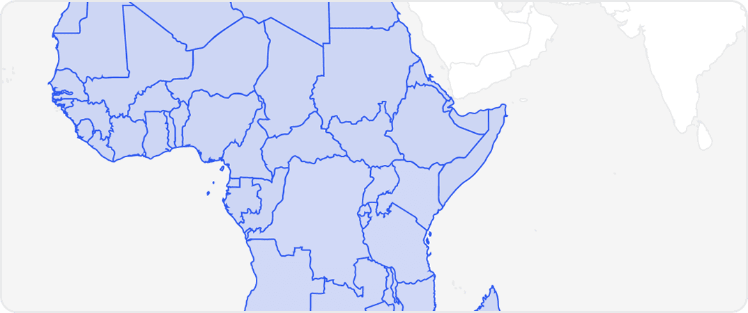
This dataset delivers GIS-native weather and climate intelligence designed for impact analysis and operational decision making. It combines raster and vector layers representing weather event footprints, asset-specific short-term forecasts, historical storm records, and derived risk metrics such as freeze and wind exposure. Deliverables are machine-learning ready and provided in standard geospatial formats for immediate ingestion and visualization. The collection also includes model outputs and performance summaries used in domain-specific products, demonstrating real-world use cases for infrastructure resilience and insurance loss modeling. Spatial coverage is global and supports mapping, proximity analysis, site selection, and regional market or vulnerability assessments.
Key attributes include:
GIS-native raster and vector weather layers for mapping and spatial queries
Impact-based forecasts and asset-level risk indicators for infrastructure
Historical event archives and derived storm or freeze benchmarks
ML-ready exports and model performance summaries for analytics workflows
Procurement metadata and technical credentials supporting enterprise and government use
Value Summary:
Analysts, insurers, engineers, and procurement teams benefit from turnkey geospatial weather intelligence that speeds risk assessment, supports asset protection decisions, and integrates into ML and operational workflows.
Need Pricing, Samples, or Custom Coverage?
Tell the provider what you need and they’ll respond with pricing, availability, or custom options.
Request Pricing
Request Sample Data
Request Custom Coverage
Ask a Question
Listing Details
Dataset Summary
Credits Range
-
Price Range
$ -
Time Coverage
-
Pricing Options
1
Countries
1
Refreshes
Size
2.40 MB
Rows
3,366
Activations
DataScape
Export
Map Embeds
Price
Full Dataset
-
Tags
Always On
Instant Access
Full Dataset
Categories
Ai And Machine Learning Data
Environmental Data
Energy Data
Geospatial Data
Infrastructure Data
Risk Data
Weather And Climate Data
Industries
Commerce And Industry
Energy And Utility
Environmental And Land Management
Healthcare And Insurance
Infrastructure And Construction
Public Sector And Government
Technology And Security
Weather And Climate
Origin
Scientific Research
Other
Data Dictionary Per Variant
Pricing
Full Datasets
Get complete coverage with one purchase. Includes all regions available without any regional selection required.
More from Adiabat Weather
No listings match your current filters. Try adjusting your criteria to see more results.
Dataset Summary
Credits Range
-
Price Range
$ -
Time Coverage
-
Pricing Options
1
Countries
1
Refreshes
Size
2.40 MB
Rows
3,366
Activations
DataScape
Export
Map Embeds
Price
Full Dataset
-
Tags
Always On
Instant Access
Full Dataset
Categories
Ai And Machine Learning Data
Environmental Data
Energy Data
Geospatial Data
Infrastructure Data
Risk Data
Weather And Climate Data
Industries
Commerce And Industry
Energy And Utility
Environmental And Land Management
Healthcare And Insurance
Infrastructure And Construction
Public Sector And Government
Technology And Security
Weather And Climate
Origin
Scientific Research
Other
1 Pricing Options · Price Starting at -